
POSASITAS
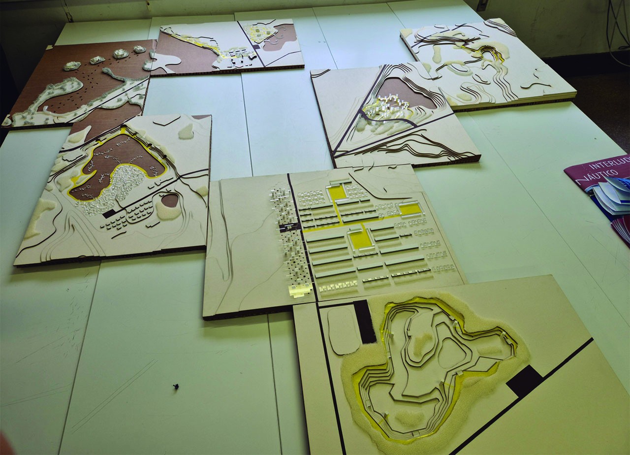
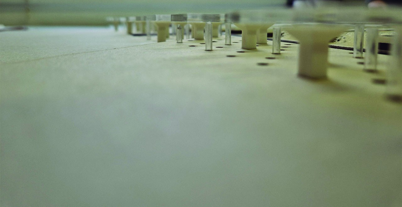
Since the beginning of the course, we were introduced to a peculiar but interesting methodology. We were to develop our projects through collaborative planning using mockup. As a class, we made a collective effort to coordinate and connect the models like puzzle pieces, working at a territorial scale in the area known as Lagunas de las Madres, located near Arganda del Rey.
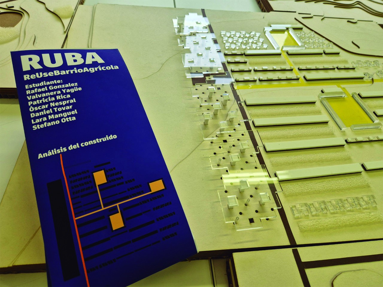
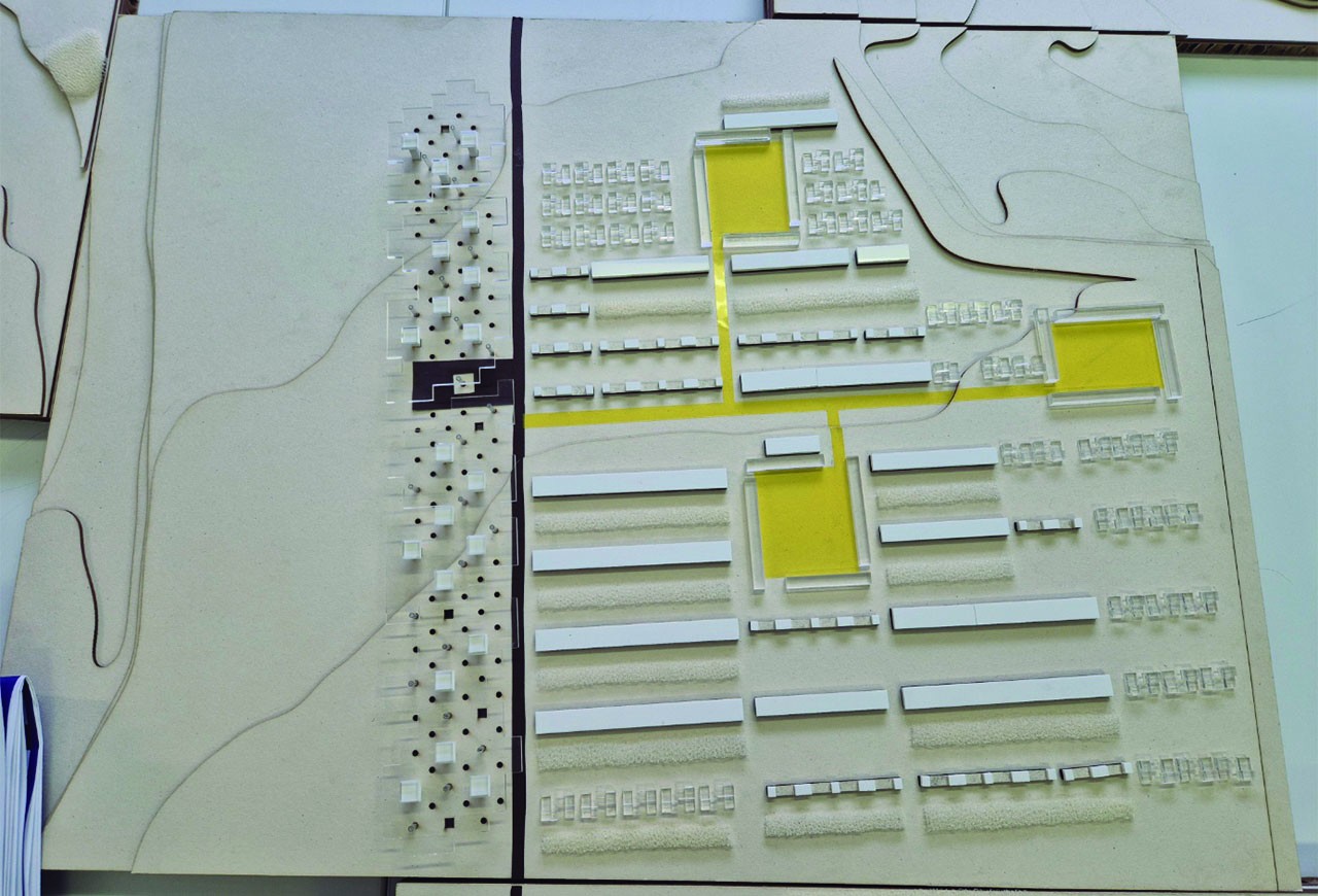
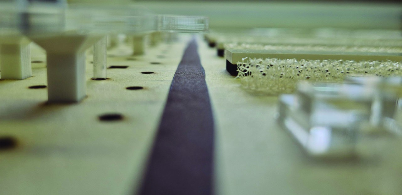
In my case, I was part of a group focused on regenerating the pre-existing village in the area and promoting agricultural production through cutting-edge technologies. As you can see on my group’s collaborative map, we continued to develop the seven projects jointly; among these, three of us concentrated specifically on agricultural production and field management. With my colleague’s productive building, raised above ground level to preserve the original crops, we provided it with services and infrastructure through various supporting elements: another teammate’s drone towers supplied electricity and deployed drones to monitor the agricultural land from above; while my wells managed water and monitored the crops from the ground.
Within my wells, which rise to connect with the productive building, we faced the challenge of creating a minimal habitat for our client—the water manager—responsible for managing the water system. I addressed this by designing an experimental housing model in which movement occurs vertically via the lift. In fact, the lift forms the core of the dwelling, with its functions and programmes arranged around it like a technological crust. As shown in the plans representing one of the wells, each level is assigned different activities: washing, dressing, cleaning, resting, working, eating, entertaining, managing, supplying…
To conclude, my project is more than just a well; it is the minimal expression of a habitat that supports a productive infrastructure aimed at regenerating a degraded settlement, which in turn forms part of a broader territorial strategy.
- 00 - Description
- 01 - Photo 1
- 02 - Photo 2
- 03 - Photo 3
- 04 - Photo 4
- 05 - Photo 5